Understanding Geosteering Technologies
What is Geosteering?
Geosteering is a sophisticated drilling technique used primarily in the oil and gas industry. It involves the real-time monitoring and adjusting of a wellbore’s trajectory, taking into account geological formations and data gathered during the drilling process. By utilizing various geological and geophysical data, geosteering enables drillers to optimize the placement of wells, ensuring that they penetrate the most productive reservoirs while avoiding non-productive zones. This precision is vital in maximizing resource extraction and minimizing environmental impacts, making geosteering a cornerstone of modern drilling practices.
The Importance of Real-Time Data
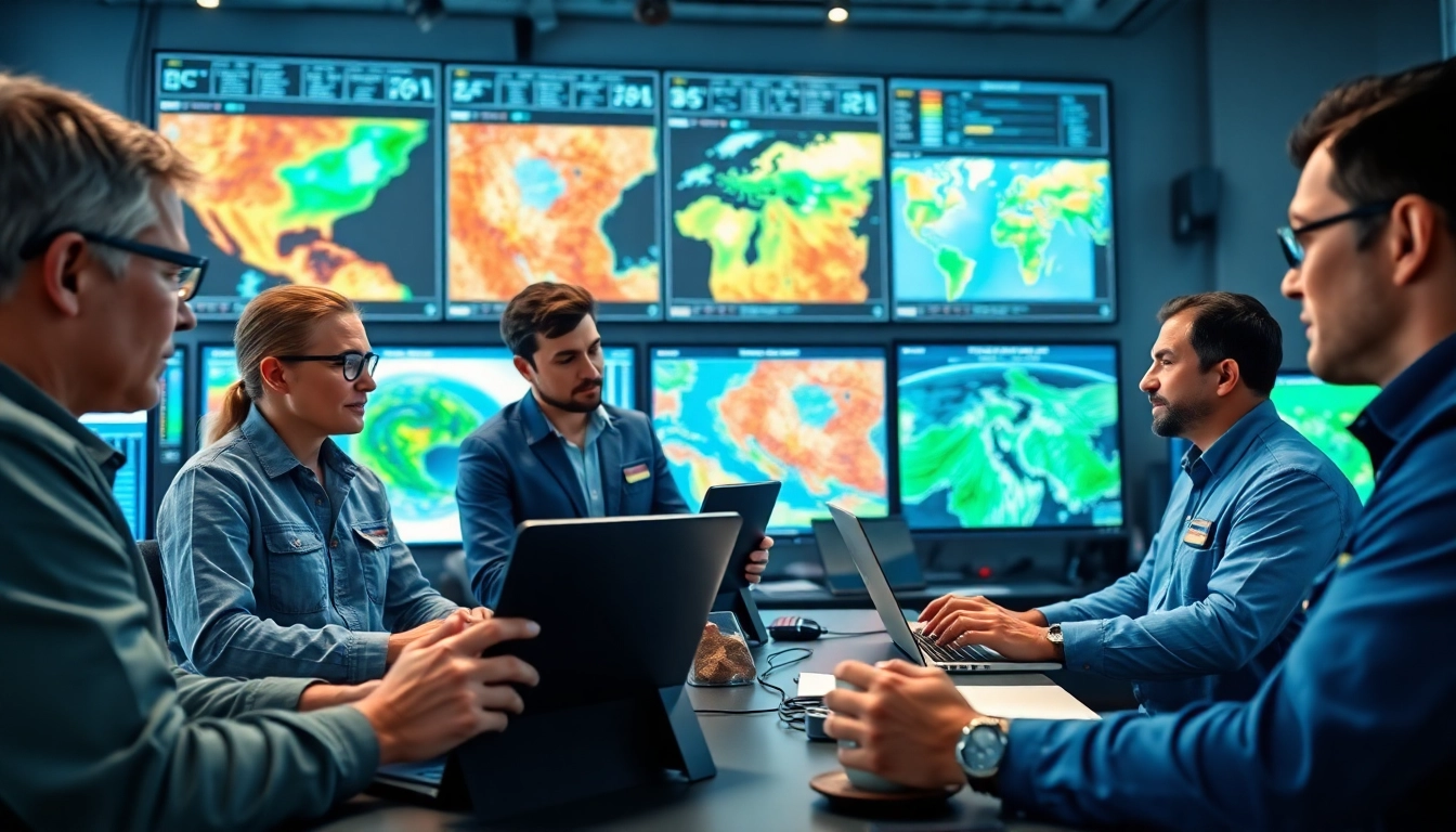
The essence of successful geosteering lies in the access to and utilization of real-time data. This data comes from multiple sources, including downhole sensors, logging tools, and surface measurements. By integrating this information, operators can make informed decisions about the drilling path, adjusting as necessary to maintain optimal alignment. The ability to react promptly to geological changes can prevent costly drilling errors and reduce the total cost of operations. Additionally, real-time data enhances collaboration among teams, allowing for proactive adjustments that lead to greater efficiency and safety.
Key Technologies Behind Geosteering
Several cutting-edge technologies underpin geosteering practices:
- Measurement While Drilling (MWD): This technology allows operators to gather real-time data about the well’s trajectory and the surrounding geological formations while drilling. MWD systems often include tools that measure resistivity, gamma-ray emissions, and other critical parameters.
- Logging While Drilling (LWD): Similar to MWD, LWD integrates geological logging tools within the drilling assembly, providing crucial insights into rock properties and fluid types.
- 3D and 4D Seismic Imaging: Advanced seismic data analysis helps create detailed images of subsurface formations, enabling precise planning and execution of drilling activities.
- Artificial Intelligence (AI) and Machine Learning (ML): These technologies analyze historical and real-time data, providing predictive insights that enhance decision-making and optimize drilling strategies.
Benefits of Geosteering in Oil and Gas
Improving Drilling Accuracy
One of the most significant benefits of geosteering is its impact on drilling accuracy. By constantly updating the drilling path based on real-time data, operators can ensure the well is designed to intercept the target strata effectively. This heightened accuracy leads to improved recovery rates and optimizes the utilization of resources. The financial implications are substantial, with fewer nonproductive time (NPT) incidents and a reduced number of sidetracks or re-drills required.
Cost Benefits and Resource Optimization
Geosteering significantly reduces operational costs through enhanced efficiency. By accurately targeting productive zones, companies can extract resources faster while minimizing their drilling expenses. This cost-effectiveness is coupled with the environmental benefit of reduced surface disruption and lowered resource waste. Moreover, the data-driven approach allows for better planning and forecasting, thereby improving project economics and enhancing profitability.
Case Studies: Successful Geosteering Applications
Several case studies illustrate the successes of geosteering in real-world applications. In one notable instance, an operator employed geosteering techniques in a shale play, which resulted in a 30% increase in production compared to traditional drilling methods. Another case involved using geosteering in offshore drilling, leading to the discovery of previously unidentified hydrocarbon reservoirs, which contributed to increased output and profitability. Such successful implementations highlight the value of integrating geosteering into drilling strategies.
Challenges Faced in Geosteering
Common Pitfalls in Geosteering
Despite its advantages, geosteering is not without challenges. Common pitfalls include:
- Data Overload: The vast amount of data generated can overwhelm teams, leading to decision paralysis. Proper data management and analytical frameworks are essential to mitigate this issue.
- Integration Difficulties: Ensuring seamless integration of various technologies and data sources can be a challenge, requiring adequate training and investment in suitable tools.
- Geological Variability: Unanticipated geological variations can pose challenges, necessitating real-time adjustments and flexibility in drilling plans.
Mitigating Risks with Best Practices
To address these challenges, adopting best practices in geosteering is crucial. Effective data management, including robust training programs and the development of clear protocols for data interpretation, can minimize confusion and improve decision-making. Continuous collaboration between teams and stakeholders ensures all parties are aligned and informed, reducing the risk of operational hiccups. Additionally, conducting thorough pre-drill planning helps anticipate potential geological complexities, allowing for more agile responses during drilling operations.
Technological Limitations and Solutions
Technological limitations can also hinder geosteering initiatives. Limited equipment capability, insufficient integration between drilling tools, and challenges in data transmission can all pose obstacles. To overcome these limitations, investment in advanced technologies and partnerships with service providers specializing in geosteering can offer viable solutions. Utilizing cloud computing for data storage and access ensures that teams can work collaboratively and in real time, enhancing overall operational efficiency.
The Future of Geosteering
Innovations on the Horizon
The future of geosteering is bright, with several innovations poised to further transform the industry. Advanced sensor technology, including high-resolution imaging and improved wireless data transmission capabilities, will enhance real-time decision-making. Additionally, the integration of blockchain technology for data sharing could streamline operations. By ensuring data security and transparency, these innovations will facilitate smoother operations across sectors and improve overall trust among stakeholders.
Integration with AI and Machine Learning
AI and machine learning will play a critical role in refining geosteering techniques. These technologies can analyze vast datasets to predict geological trends, recommend optimal drilling paths, and even automate certain aspects of the drilling process. As AI models continue to evolve, we can expect them to provide increasingly accurate predictions, allowing for even more precise and efficient drilling operations. The shift from traditional methodologies to data-driven approaches will redefine success metrics across the industry.
Trends Impacting Geosteering
Several broader trends impact the future of geosteering. The push for sustainability in the energy industry emphasizes the need for efficient resource extraction methods. Additionally, ongoing advancements in data analytics and machine learning will continue to drive geosteering innovations, allowing for more informed, strategic decisions with greater precision. As regulations regarding environmental protection become stricter, embracing geosteering can serve as a proactive step toward compliance while also enhancing operational efficiencies.
Getting Started with Geosteering
Initial Steps for Oil and Gas Companies
Oil and gas companies looking to adopt geosteering practices should begin with a comprehensive assessment of their current drilling operations. Understanding existing capabilities, identifying gaps in technology, and evaluating data management practices are essential initial steps. Developing a strategic plan that incorporates geosteering into the overall operational strategy will ensure a smooth transition and maximized benefits.
Evaluating Geosteering Service Providers
Choosing the right service provider is crucial for successful geosteering implementation. Companies should assess potential partners based on their track record, technological offerings, and support capabilities. It’s vital to evaluate their ability to customize solutions that align with specific operational needs. Engaging in pilot projects can also provide insight into their methods and effectiveness, aiding in the decision-making process.
Measuring Success: KPIs for Geosteering
To assess the effectiveness of geosteering initiatives, it is crucial to establish key performance indicators (KPIs). These metrics can include:
- Drilling Efficiency: The time taken to reach the target depth and the costs associated with drilling.
- Production Rates: The volume of hydrocarbons extracted relative to initial projections.
- Nonproductive Time (NPT): The amount of time spent on activities that do not contribute to drilling progress.
- Geological Accuracy: The precision of well placement in relation to target formations.
By closely monitoring these KPIs, companies can continually refine their geosteering strategies, ensuring enhanced performance and profitability. For more information on implementing effective geosteering solutions, visit www.geosteeringvision.com.


